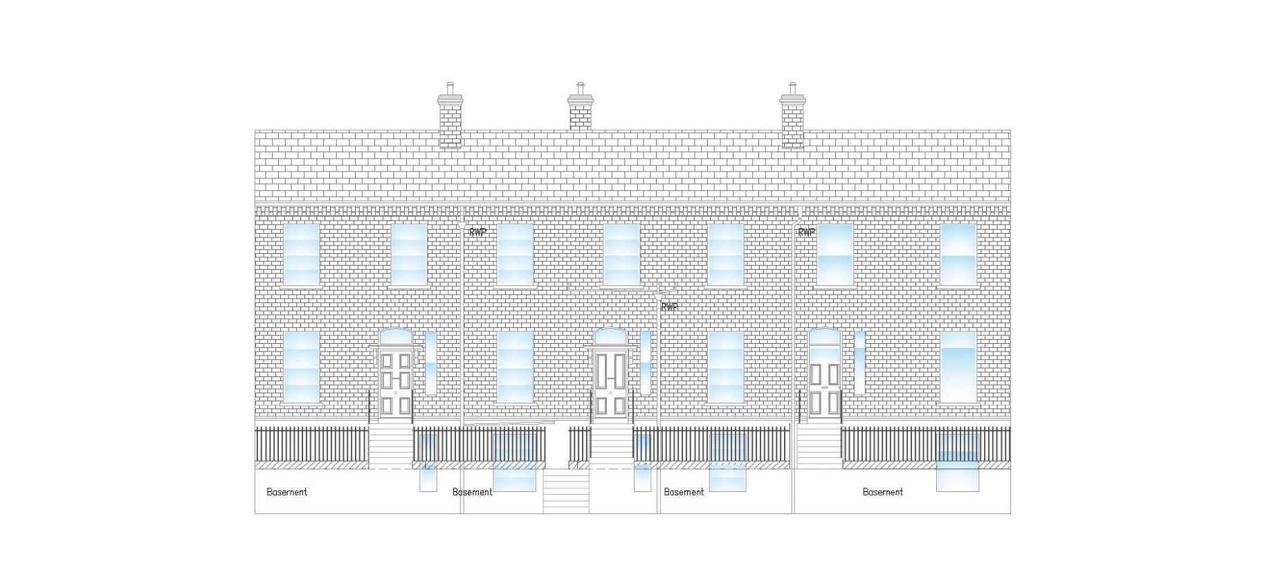


Topographical and Measured Building Surveys
Topographical (or Land) surveys provide an accurate depiction of the physical features of a site usually output in the form of an AutoCAD drawing. We primarily carry this out using photogrammetry, however we also use traditional methods with Total Stations and GPS rovers, as necessary. We also carry out detailed measured building surveys, plans and elevations etc.