Topographical Surveys – Traditional
Topographical Surveys – Traditional
All projects from the simplest ‘house extension’ to the more complex ‘airport runway’ require a topographical survey of existing ground conditions in order to design the most efficient solution and to meet the necessary planning requirements.
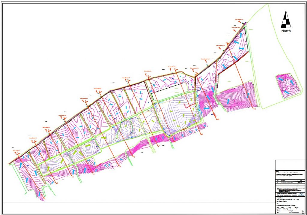
Topographical surveys measure the exact position and elevation of both artificial and natural features of any site. This is then typically output in the form of an AutoCAD drawing with contours or a 3D digital model, or a 2D OrthoPhoto.
Topographical surveys are used by both architects and engineers to plan and design infrastructure. They can also be used by planners to determine how a new development will fit into an existing environment and can also be used to accurately measure land filling and quarrying volumes.
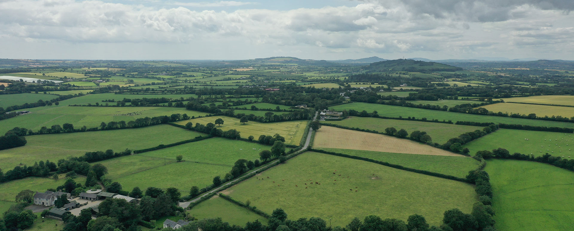
At AFDS we use both on the ground GPS and Total Stations and drone technology to produce detailed topographical surveys.
View Projects
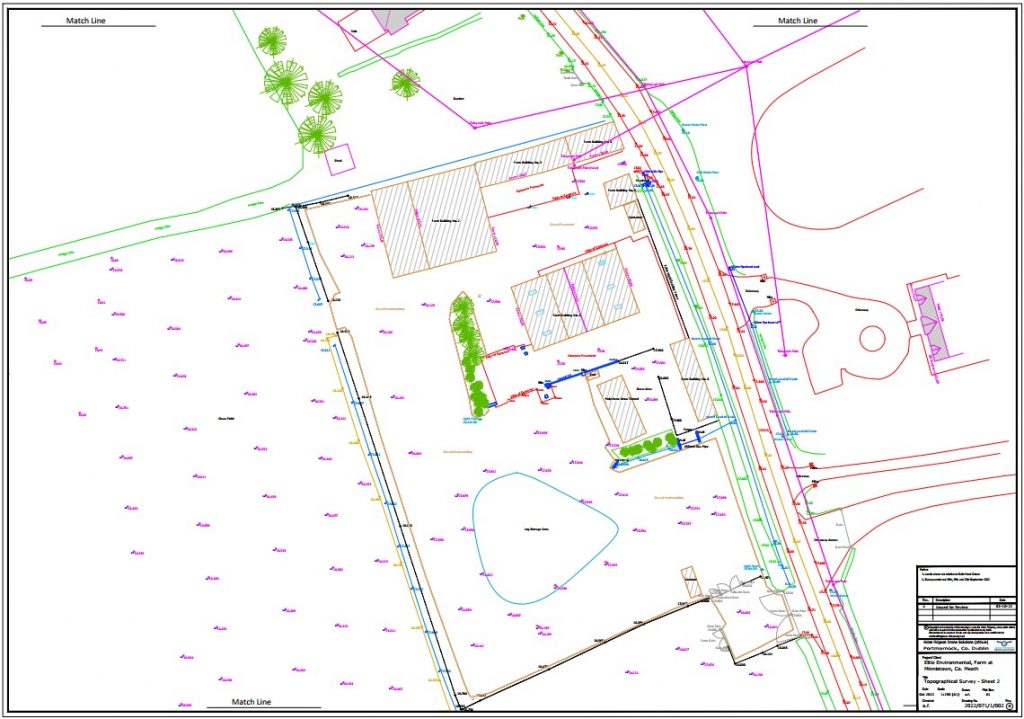
Topographical Survey – Farm Buildings