Other Services
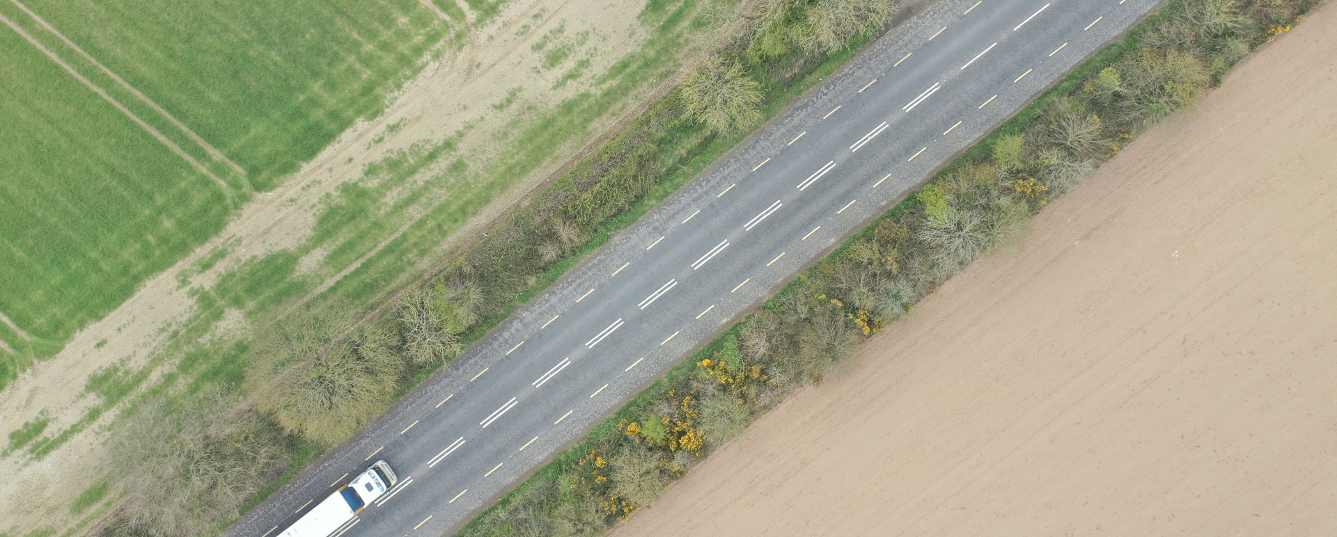
Drone technology can be used to survey vehicle collisions, sites of accidents etc. and produce a very accurate 2D or 3D model of the environment. These can be important for use in court cases and insurance claims etc.
Road sightlines can be view in 3D and easily checked.
The advantages of using drone technology for forensic surveying
- Drones can recreate situations very quickly with a short amount of time necessary on site. An aerial survey for a typical road collision can be completed in 15mins to 30mins on site.
- It is more cost effective than traditional methods (Total Station & GPS) to obtain this type of drawings / imagery / results etc.
- Accessibility – can achieve photographs to record and monitor situations from normally inaccessible locations, i.e. aerial footage
- Safety – Surveys can be completed very quickly without the need to access busy environments.
View Projects