
Topographical Surveying Projects
Typical Examples
Typical Surveying Projects
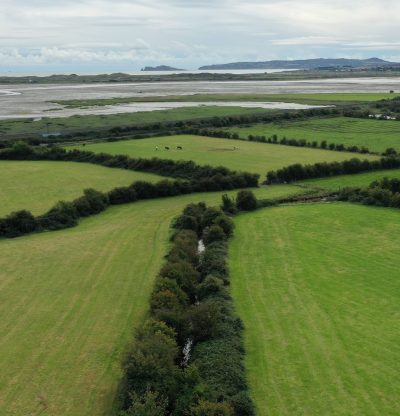
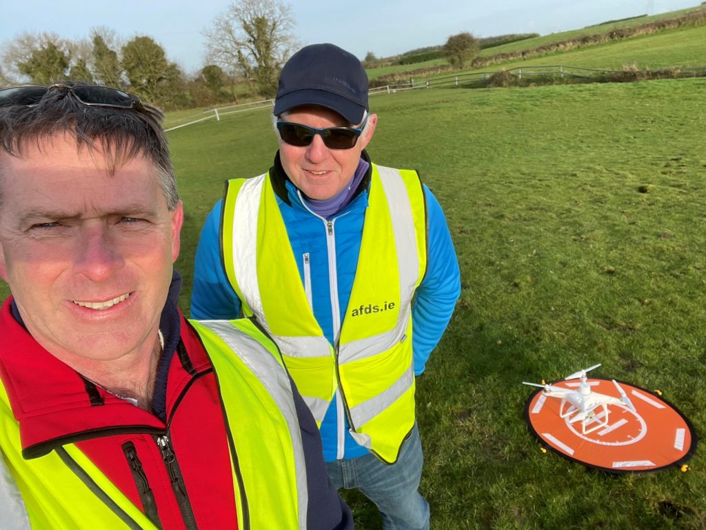
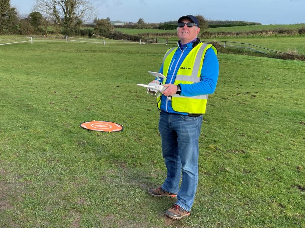
Most of our surveying projects are carried out using GPS Rovers and Total Stations. Some projects are also supplemented by drone footage to provide additional detail for architects, engineers and planners, particularly where areas are somewhat inaccessible. Some projects are carried out solely with drone technology and associated photogrammetry (and on site ground control) depending on client requirements and suitability.
Detailed below are some sample projects;
Site Survey Ballybunion Golf Course – July 2022
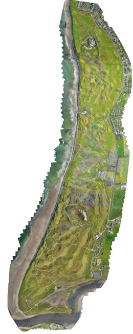
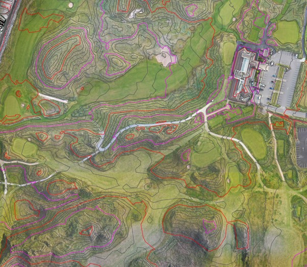
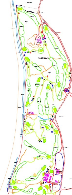
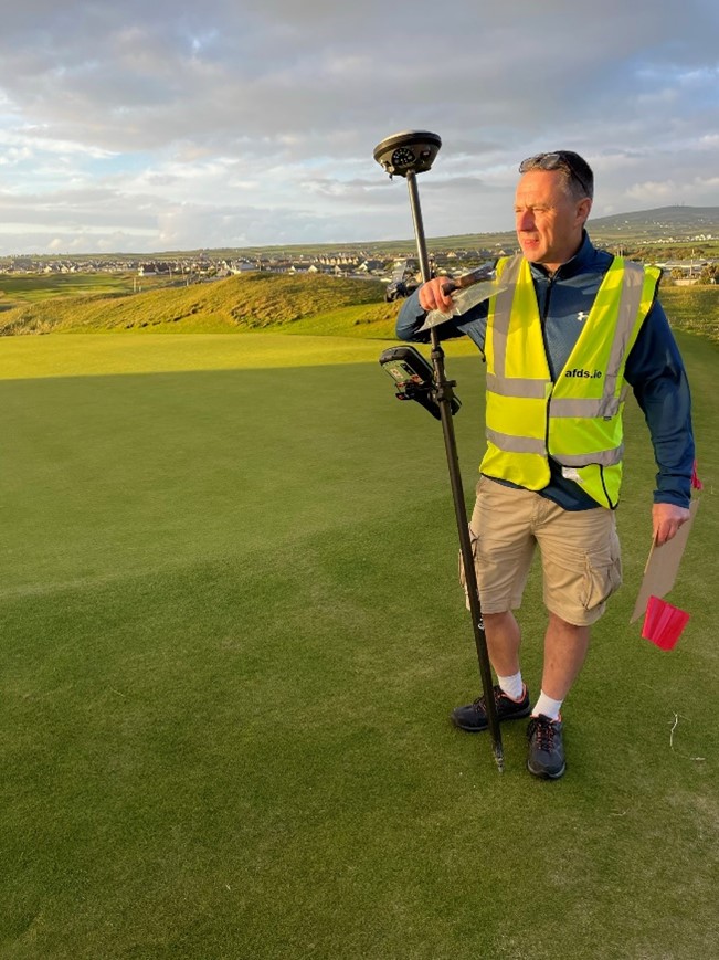
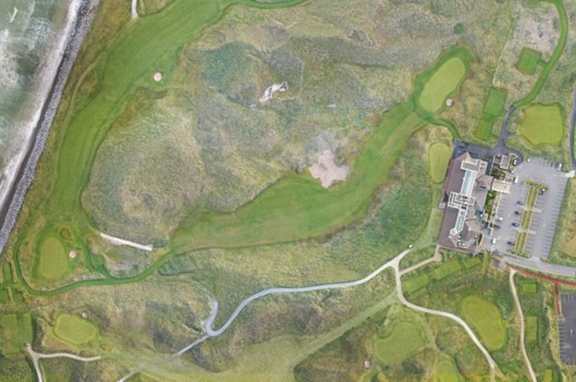
A topographical survey of the prestigious Ballybunion links golf courses covering both The Old Course and The Cashen Course was completed in July 2022. The project covered all 36 holes of both courses over some 300 Acres and was completed through a combination of photogrammetry (using drones) and ground surveying. The output of this project resulted in an orthophoto and AutoCAD drawings of both courses with contours produced at suitable intervals.
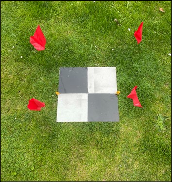
The fieldwork was carried out over 2 days with the orthophoto produced in 5 days following the fieldwork. This approach to surveying provides significant customer benefits in terms of turnaround time on a project of this nature and size. Taking a more traditional approach to field surveying would have required significant staff resources over a two/three-week period on site causing disruption to the operation of the golf course. The use of drone technology was a speedy and low intrusive approach to conducting this survey. Survey accuracy was obtained through, suitable ground control using a number of survey spot levels. Use of the drone also provides further benefits with the provision of aerial photography that can be used in support of the orthophoto and AutoCAD drawings and other uses such as marketing and promotional material.
Detailed below are some sample outputs and images;
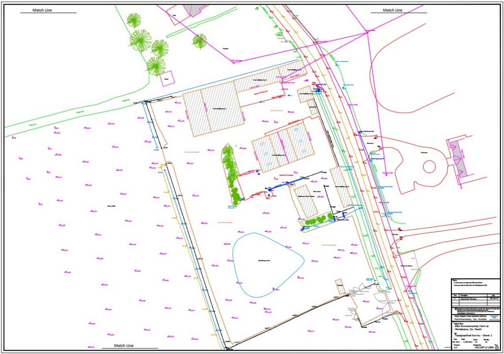
Topographical Survey – Farm Co. Meath – September 2022
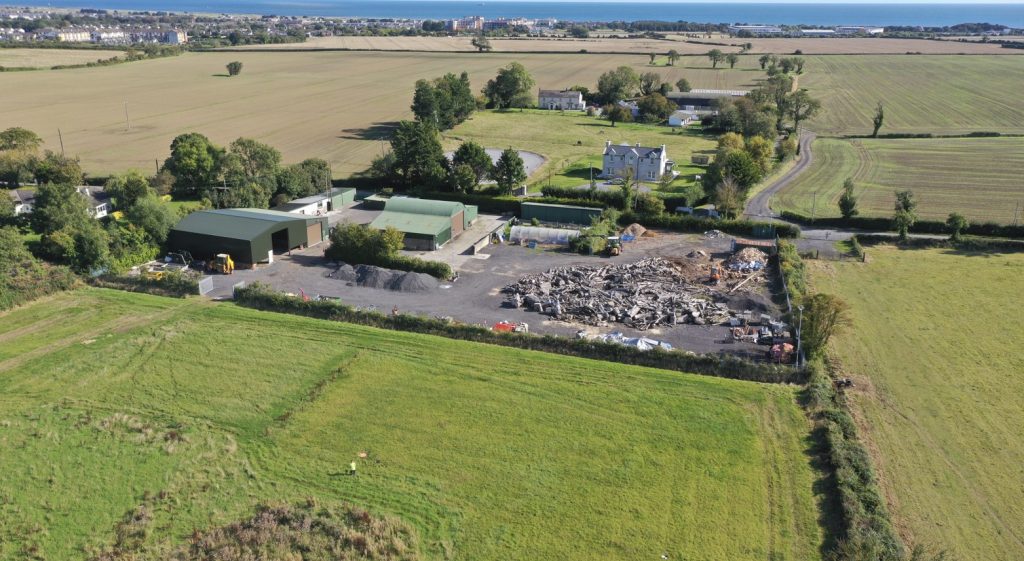
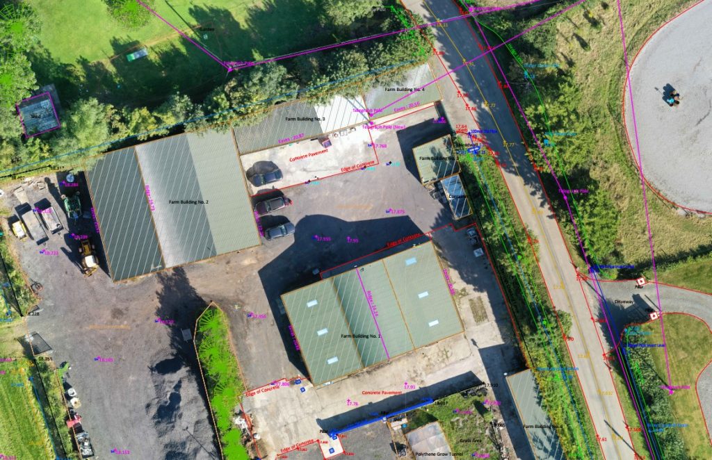
10 Acre Farm and associated road topographical survey carried out with Leica Total Station.
Topographical Survey – Farm Co. Kildare – February 2022
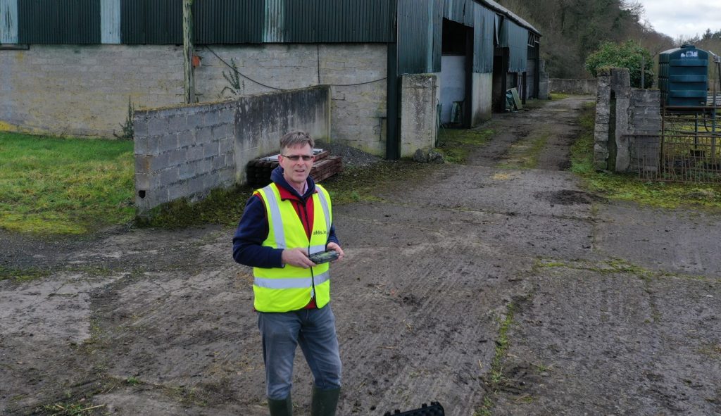
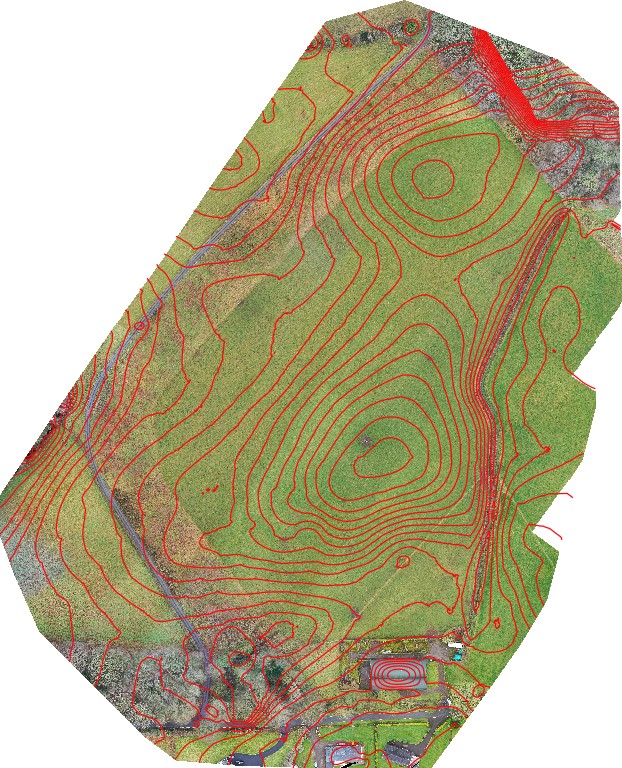
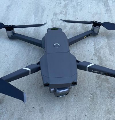
30 Acre Topographical Survey carried out with DJI Mavic 2 Pro drone to produce 2D OrthoPhoto and 3D contours flown at 70m AGL with high quality detail (c.500 photos). Total on site flying time for this survey was – 30mins. Key features surveyed with GPS/GNSS Rover and Total Station.
0.5m interval contours shown on surveyed image
Topographical Survey – Farm, Co Kildare – December 2021
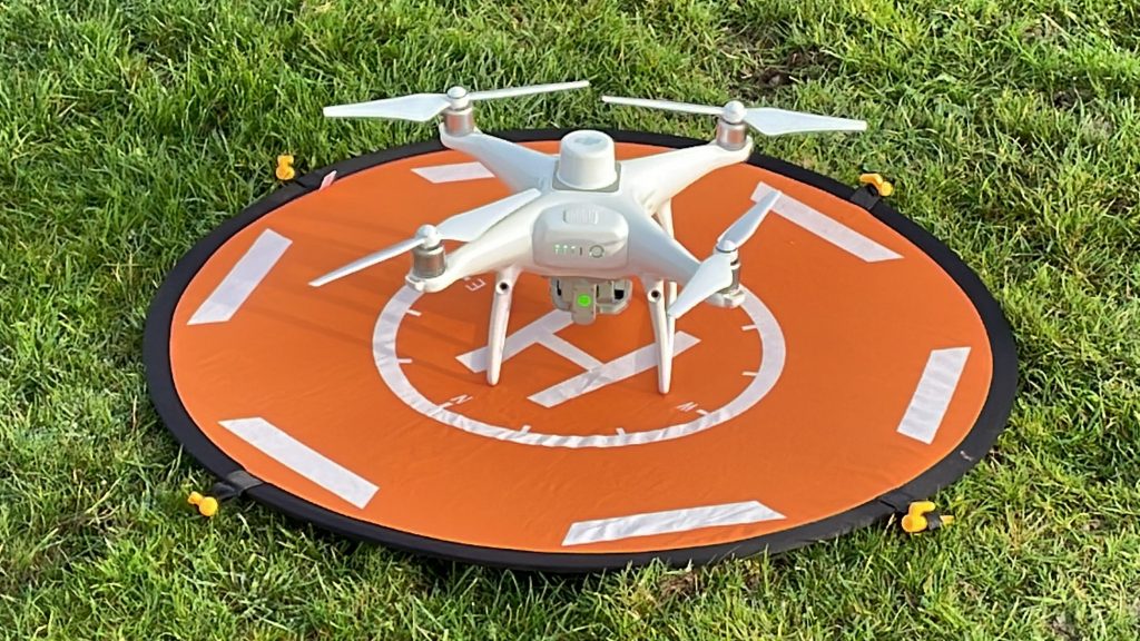
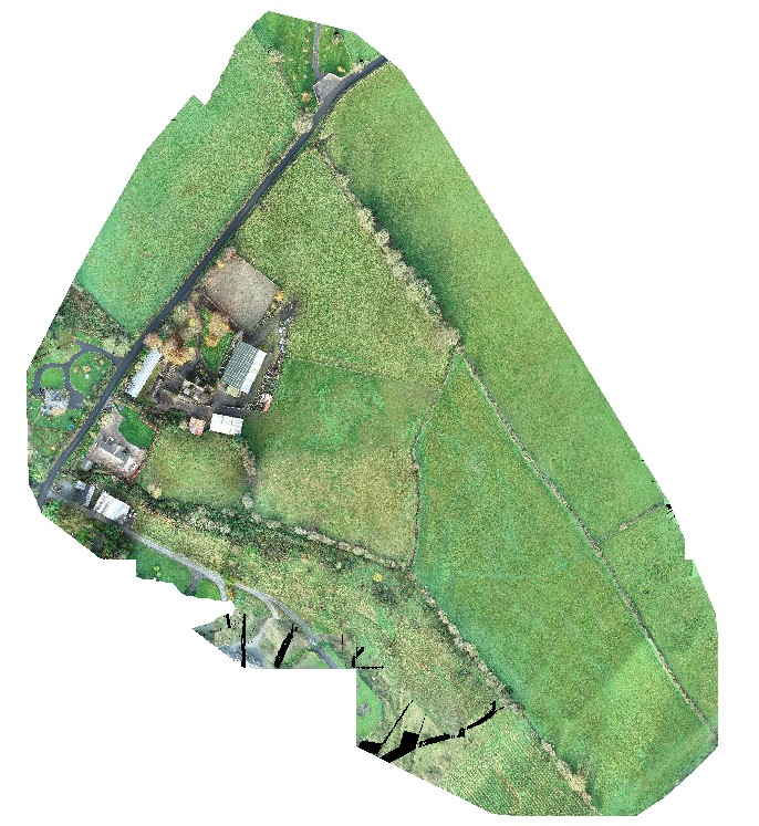
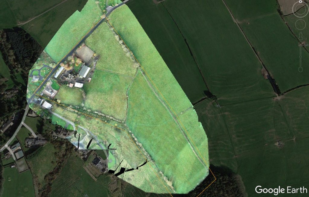
25 Acre Topographical Survey carried out with DJI Phantom 4 RTK drone to produce 2D OrthoPhoto and 3D contours flown at 55m with high quality detail (c.500 photos). Total on site flying time for this survey was – 25mins. This project required coordination and IAA approval from both Baldonnell and Dublin Air Traffic Control Centers.
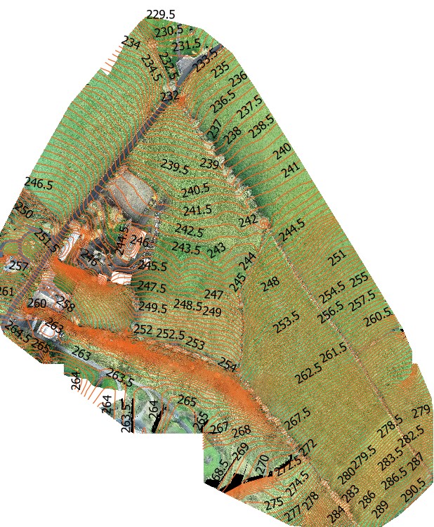
0.5m interval contours shown on surveyed image
House Survey – September 2021
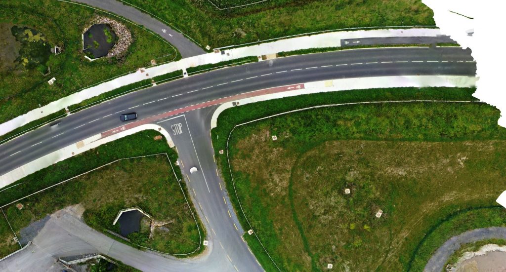
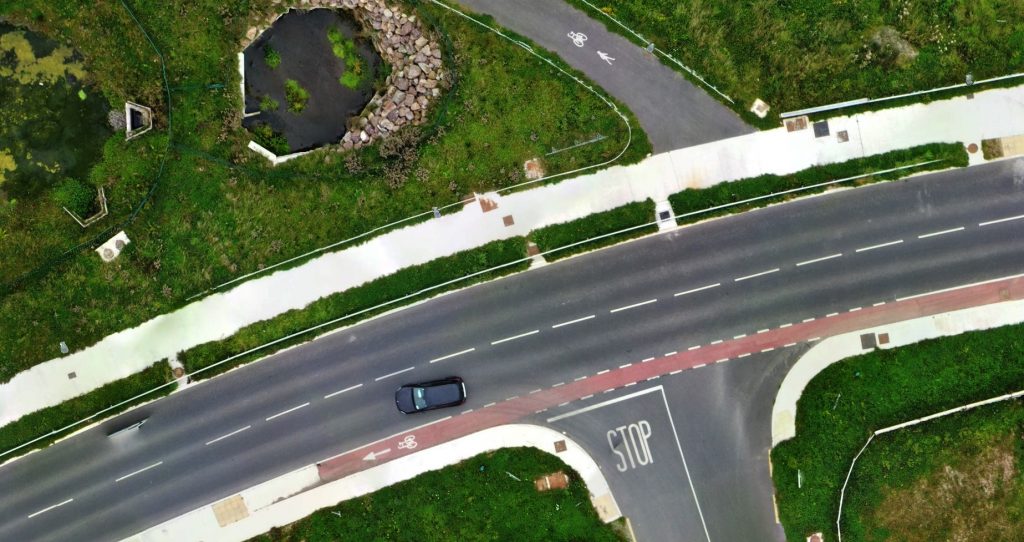
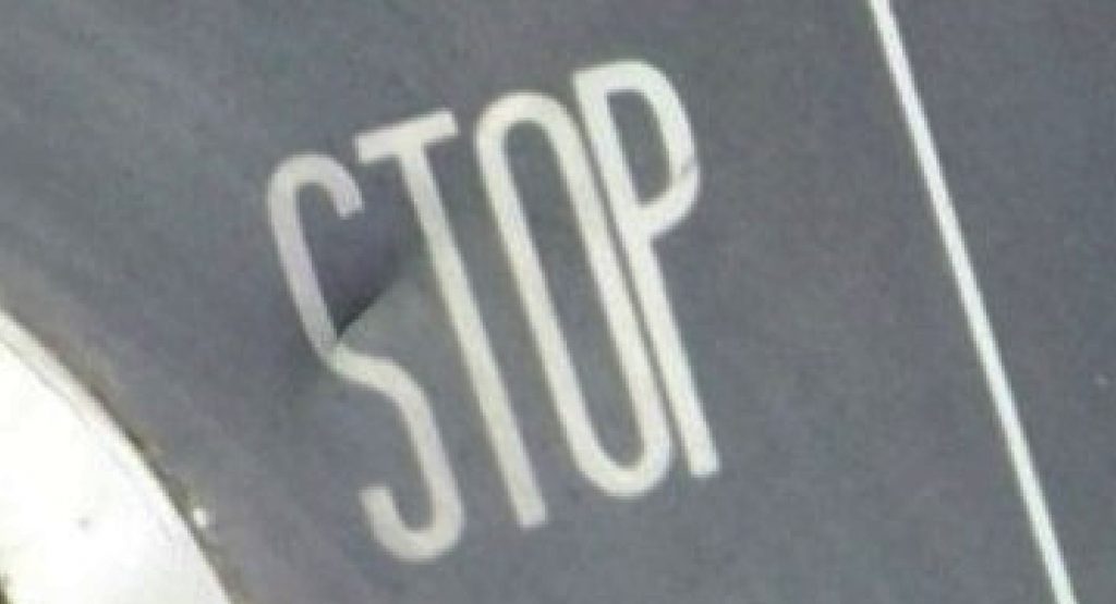
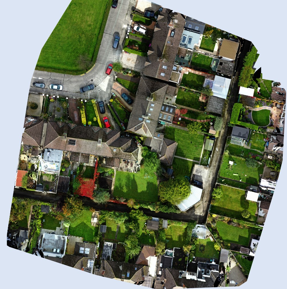
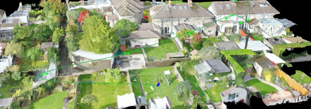
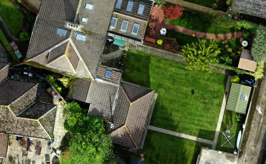
House survey carried out with drone technology to produce 2D OrthoPhoto flown at 30m with high quality detail as can be seen from extracted snippets. Total on site flying time for this survey was – 5 mins.
Site Survey Wexford – June 2021
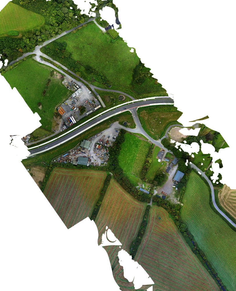
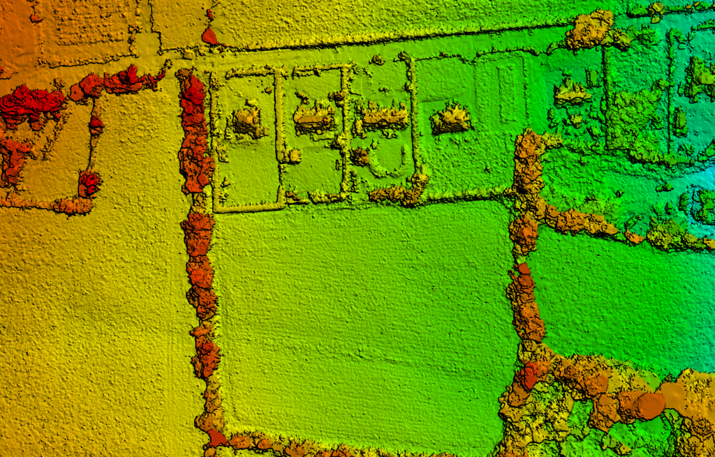
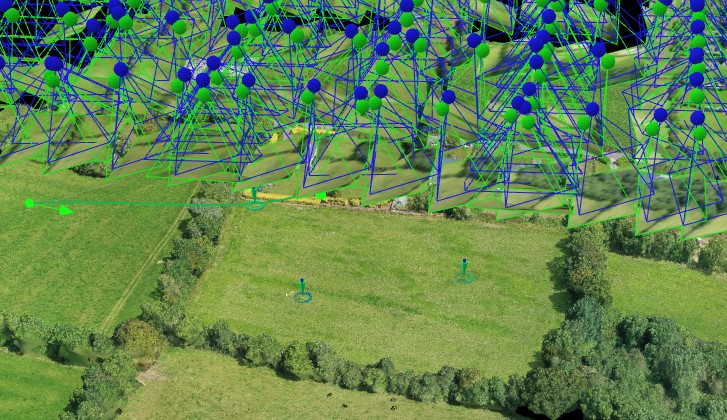
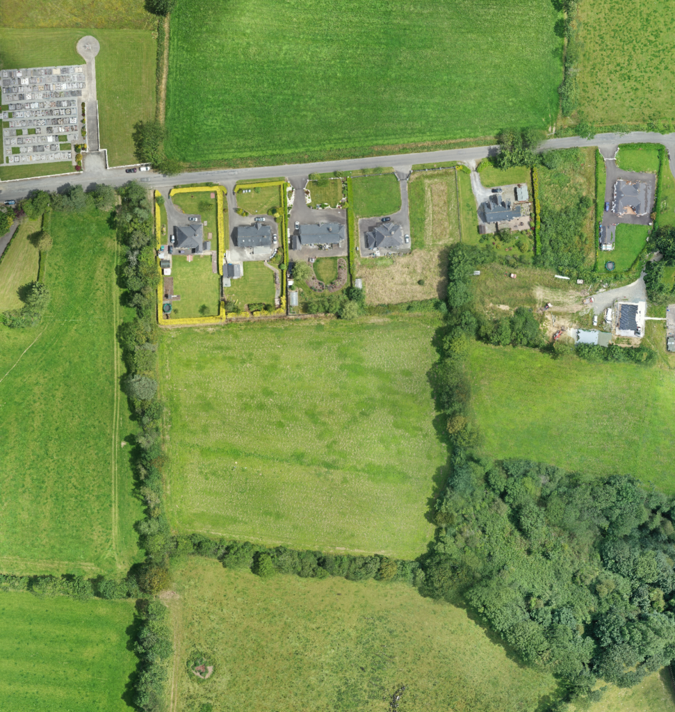
Drone survey of site at Wexford, flown at 65m producing DTM (Digital Terrain Model) and Orthophoto – Pix4D
Site (and River) Survey Donabate – September 2021
900m long river survey carried out with drone technology to produce 2D OrthoPhoto flown at 80m with high quality detail as can be seen from extracted snippets. On the ground river survey with GPS and Total Station. Total on site flying time for survey below – 18mins.