
Golf Courses – This is our Business
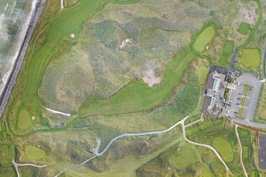
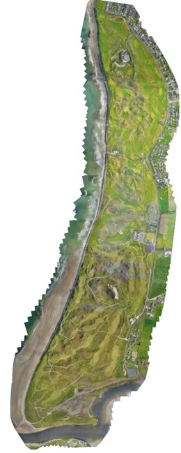
We carry out Bespoke surveys of Golf Courses using low level Aerial Photography with Drones and GPS Rovers / Total Stations. These surveys are used by many specialists in the development and redevelopment of Golf Courses throughout Ireland by planners, designers, Golf Architects, engineers, ecologists, environmentalists etc.
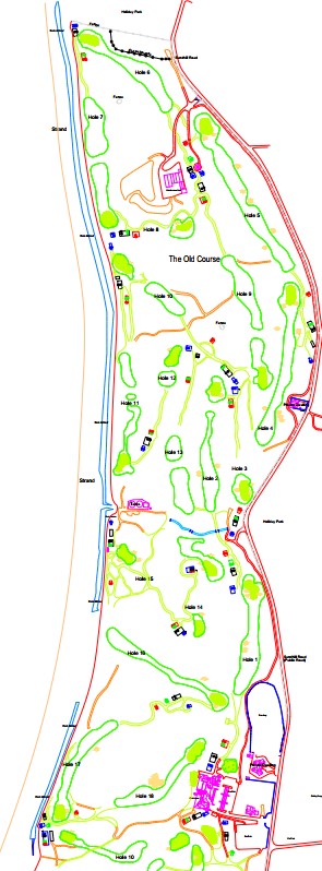
We recently completed a drone survey of the prestigious Old Course in Ballybunion (see here) using drone technology. Please contact us directly with your requirements for a free site visit and quote.
We can also provide detailed maps with exact distances from fixed markers, sprinkler heads and provide a full set of stroke saver drawings with key features.