Topographical Surveys – Using Drone Technology
Topographical Surveys – Using Drone Technology
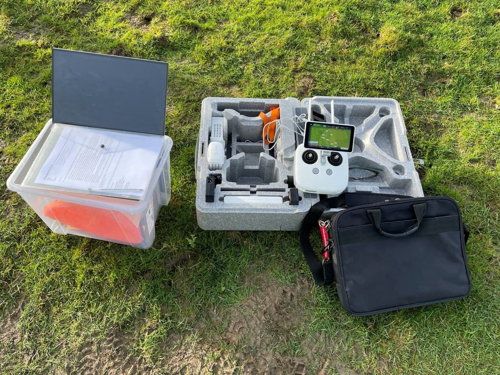
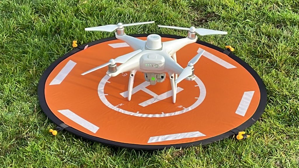
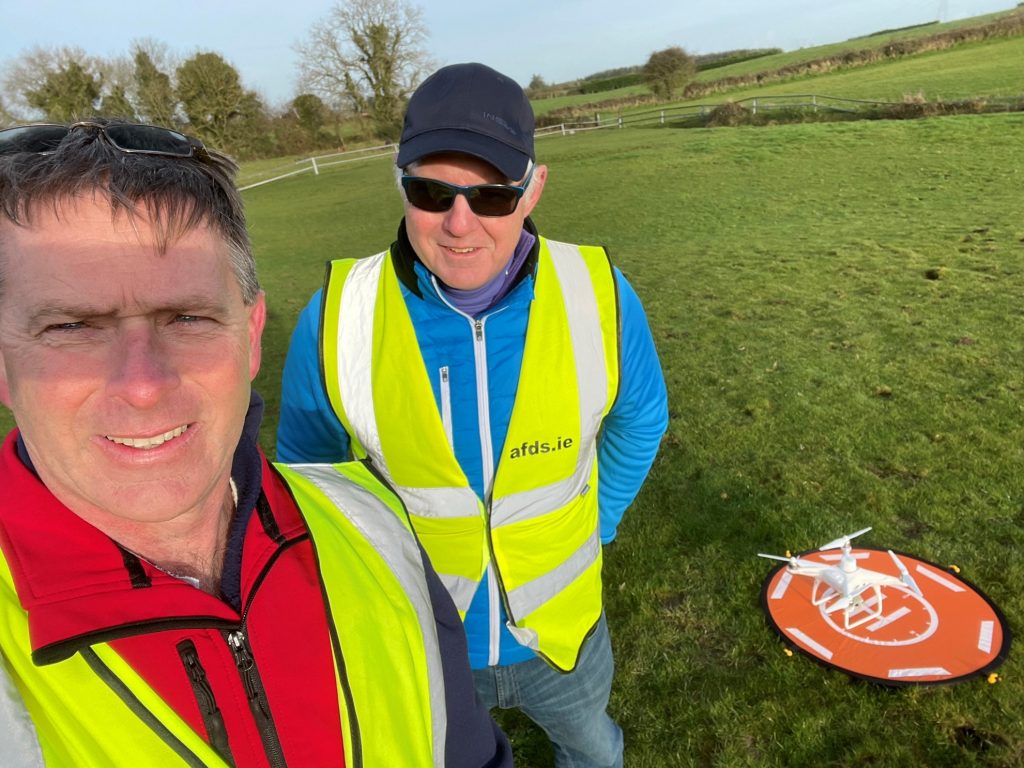
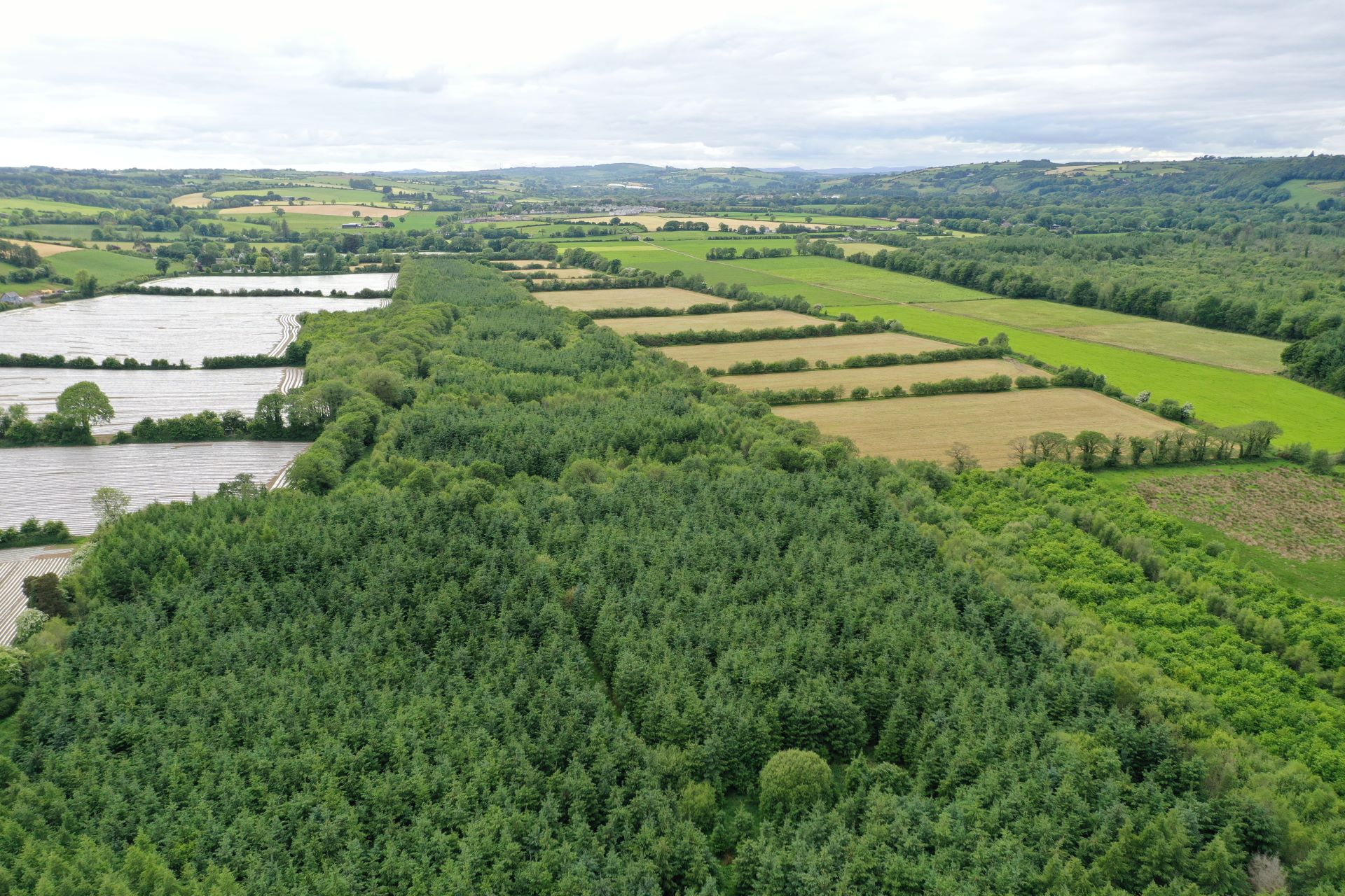
At AFDS we also use drone technology to produce detailed topographical surveys, where suitable. Drone technology combined with photogrammetry using specialist software produces our 3D topographical maps and digital models for clients, including OrthoPhotos.
Not all projects are suitable for drone technology, however when suitable, the following advantages apply;
The advantages of using drone technology
- Site time can be reduced significantly
- Initial results can be produced very quickly in the form of a 3D model
- Accurate drone surveys can be produced
- Flights can be automated using mapping software
- Flights can be repeated to show progress of development & consistency once a project goes ‘live’
- Drone technology minimises working around site hazards, e.g. rivers, cliffs, towers etc.
- Drone technology is more cost effective for aerial photography than traditional manned aircraft methods
View Projects